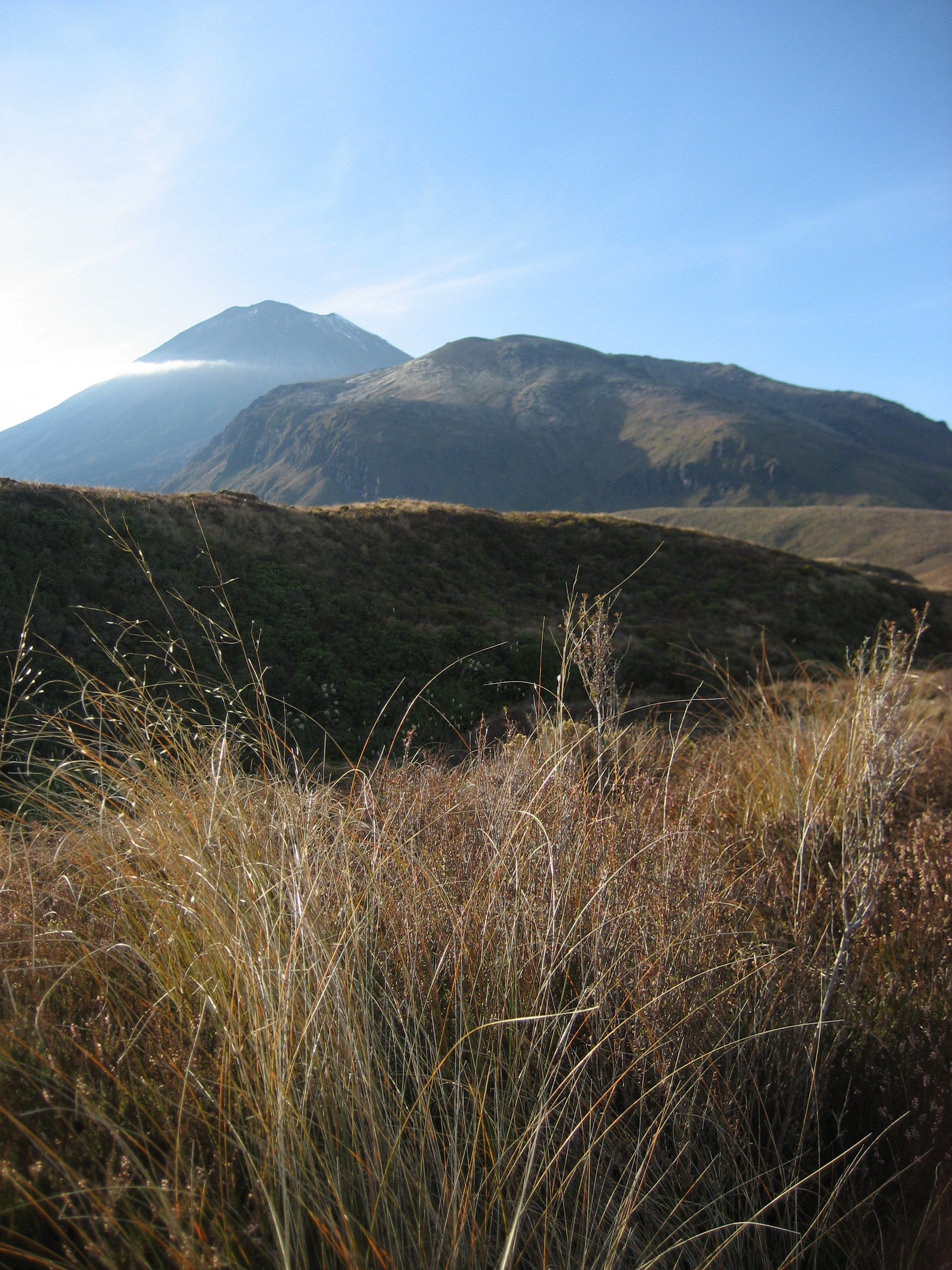
Going off the beaten track while traveling around is great, but don’t forget to see some of the tracks that have been regularly walked on too. One of my favorite tracks is the Tongariro Crossing in New Zealand. Located on the North Island, Tongariro is a National Park that has been gifted in 1887 by the Paramount Chief (Te Heuheu Tukino IV) of the Tuwharetoa (indigenous tribe) to the nation of New Zealand. In the park a trail of about 20 km is sign posted, which takes between 5,5 and 8 hours to complete. With 6 different landscapes to see in about 6 hours, the Tongariro Crossing is a great one day hike and a definite must-do when you’re in the area.
When I traveled in New Zealand on my world trip, I stayed in Ohakune, a small town near Tongariro National Park. For a mere NZ$ 25 (nowadays it’s probably around NZ$ 30) I took a shuttle bus to the start of the Crossing at Mangatepopo. Starting from a wide flat valley with little shrubs left and right, I walked behind a woman from Germany. She turned around and asked with a grin: ‘Are you following me?’ ‘Yes,’ I replied smiling, ‘And I’ll do that for the next 6 hours!’ We laughed and decided to do the hike together.
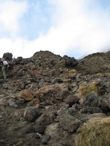 After the flat valley with a little stream meandering through it, the landscape changed dramatically with a steep climb. Huffing and puffing we made it to the top and enjoyed the views over the park from there next to red and black vulcanic rocks and steamy craters (yes, there is thermic activity there). A sign indicated a side trip to Mount Ngauruhoe, which we skipped, but can be an interesting addition to the trek for Lord of the Rings fans. This mountain is the famous Mount Doom from the movie trilogy. Continuing on the regular trail we hiked past more craters, smelled the sulphur of the still active Red Crater, and saw some snow on the ground next to the path. Over here you can do another little side trip, to the top of Mount Tongariro, but we were more intent on getting to the end of the track on time to make sure we would not miss our shuttle there.
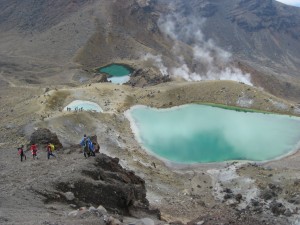 From the Red Crater, a pebble path led down to the Emerald Lakes, beautiful bright colored lakes in the middle of the vulcanic terrain. Going down the pebbles was not easy, since the little rocks slid down slightly with every step, making the descent wobbly. But my hiking buddy and I quickly got the hang of walking down it: digging our heels in and go in a steady pace down the slope. As I was almost down, I wanted to warn some people who were about to walk up, and as I was saying it, I almost tripped… Yeah, that’s me: warning people and then almost going flat on my face myself. Anyway, after some nice photos at the Emerald Lakes, the road went downward again along the sacred Blue Lake into green and yellow grassy hills.
 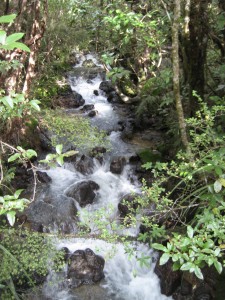 Towards the bottom the vegetation got higher and more dense until we walked in a forest with a little creek and some waterfalls. At the parking of Ketetahi we reached the end of the Crossing and found various shuttle buses waiting for the hikers who finished the track. I completed it in about 6 hours, including some stops to take in the beautiful surroundings and have something to eat and drink. Afterwards we realised we could have taken the side trips to the two Mounts too, but there’s always next time.
A few side notes before embarking on the Tongariro Crossing:
Check the weather and forecasts for the day, the weather can change very quickly, from dry and sunny to cold and foggy. I was lucky the weather stayed chilly but sunny that day, but it can be different. Be prepared.
You have to be reasonably fit and able to hike up mountains and continue to walk the whole track, since your pick up is at the end of the track.
The best direction is from Mangatepopo to Ketetahi, since you start higher, so there is more downhill walking. If you do the Crossing in the opposite direction, be aware it could take you an extra hour.
And what is your favorite On The Beaten Track?
—————————————————–
Liked this post? Don’t forget to like The Curious Butterfly on Facebook too! Thank you!


